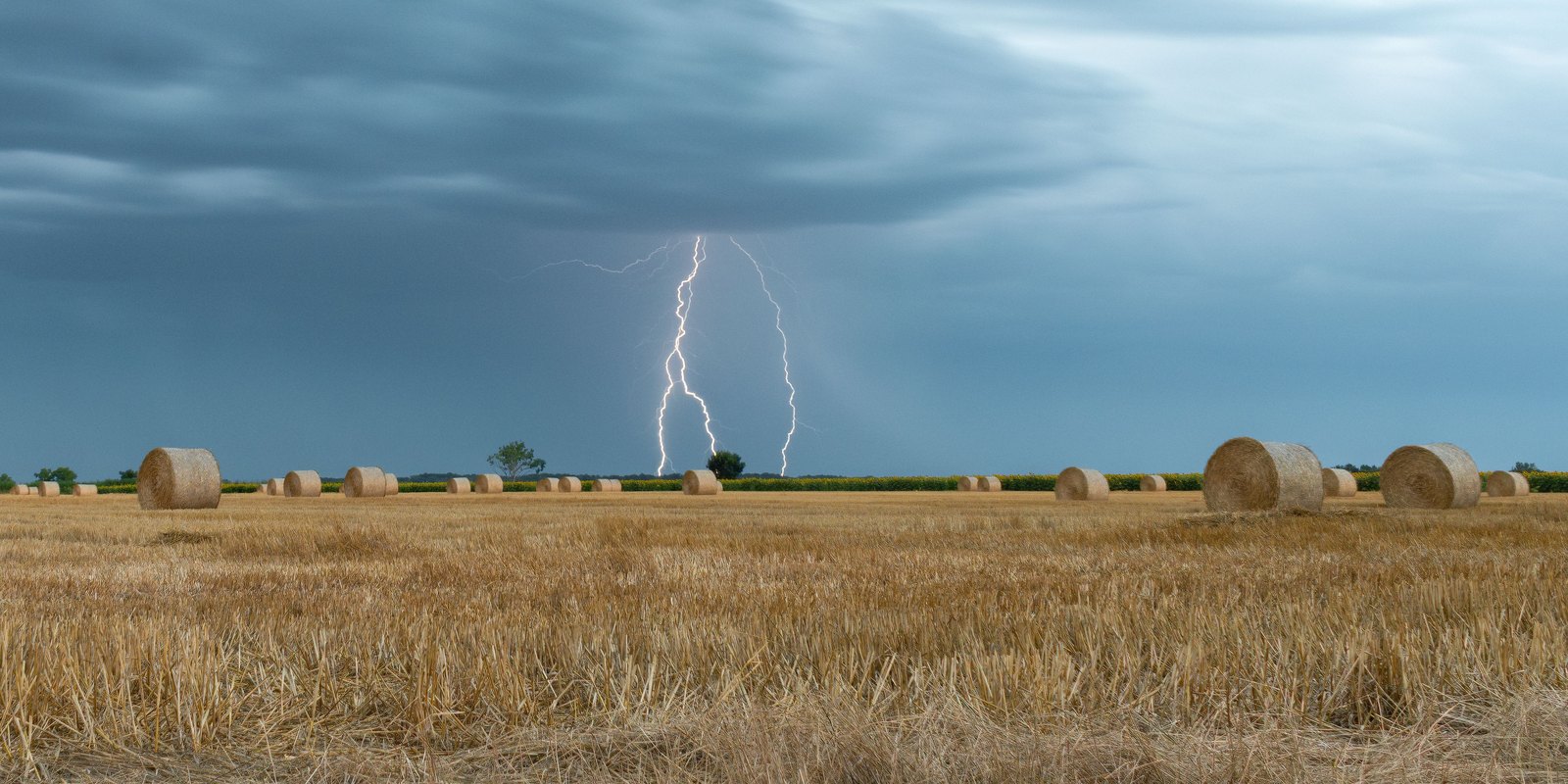
A thunderstorm forecast is the most misread item on any weather app. Travellers see 40% and cancel a day; or see 40%, ignore it, and end up sheltering under a tree on a ridge. Neither response follows from what the number actually says. A thunderstorm forecast tells you about likelihood across an area, not about intensity, duration, or whether your afternoon is finished — and once you know what it measures, it becomes one of the more useful things on the screen.
What the Percentage Actually Means
A 40% chance of thunderstorms does not mean it will rain for 40% of the day, or that 40% of the area will get wet. It means that at any given point in the forecast area, there is a 40% probability of a storm occurring during the forecast period.
That distinction matters for travel. Thunderstorms are small and patchy compared with a rain front. A 40% day frequently means most of the region stays dry while a handful of places get a violent thirty minutes. You are far more likely to watch a storm from a distance than to be inside one.
The corollary is that the percentage says nothing about severity. A 30% chance can deliver a storm that grounds flights; an 80% chance can deliver rumbles and twenty minutes of rain. For how probability figures behave across the whole forecast, our guide to reading a 5-day forecast covers the wider picture.
How Thunderstorms Form, Briefly
Three ingredients are needed: moisture in the lower atmosphere, unstable air where warm air can rise freely, and something to lift it — daytime heating, a mountain slope, or an advancing front. When the rising air condenses and towers high enough, ice particles collide, charge separates, and lightning follows.
This is why storms have such reliable habits. Heat-driven storms build through the afternoon as the ground warms, which is why tropical and mountain storms so often arrive between 2pm and 6pm and clear by evening. Front-driven storms follow the front instead and can arrive at any hour, including overnight. Falling air pressure is often the earliest hint that one is on the way.
Reading the Forecast for Your Day
The percentage alone is not enough to plan with. Combined with the timing and the type, it becomes actionable — and bear in mind that forecast confidence falls quickly beyond a few days, so how accurate a forecast is sets out how far ahead these figures are worth acting on.
| If the forecast shows | What it usually means | What to change |
|---|---|---|
| 20–30%, afternoon, hot day | Isolated heat-driven storms; most places stay dry | Nothing. Start early and carry a light shell. |
| 40–60%, afternoon peak | Scattered storms; a real chance of a wet hour | Front-load the outdoor plan; keep an indoor option after 2pm. |
| 70%+ with a front passing | Widespread and longer-lived | Move outdoor plans to another day. |
| Storms forecast overnight | Frontal, not heat-driven | Usually irrelevant to your plans; expect a fresher morning. |
| Storms plus wind above 50 km/h | Potentially severe; gusts, hail, disruption | Avoid exposed ground, ferries and small boats. |
| Daily storms all week in the tropics | Normal wet-season rhythm, not a bad week | Plan mornings out, afternoons in. Do not rebuild the trip. |
The last row matters more than travellers expect. In tropical destinations a week of afternoon storms is simply what the season looks like, and it usually costs you a couple of hours a day rather than the holiday.
When to Take a Storm Seriously
Most thunderstorms are an inconvenience. A few are dangerous, and the distinction is worth knowing.
- The 30-30 rule. If thunder follows the flash by 30 seconds or less, the storm is within about 10 km and close enough to be a risk — move indoors or into a hard-topped vehicle. Wait 30 minutes after the last thunder before going back out; a large share of lightning injuries happen after people assume it has passed.
- Exposure is what matters, not rain. Open ground, ridges, beaches, water and isolated trees are the hazardous places. A building or a car is safe; an umbrella, a shelter hut or a lone tree is not.
- Wind is the underrated danger. Storm gusts can arrive well ahead of the rain and reach speeds that capsize small boats and bring down branches — see our explainer on wind speed.
- Mountains change the rules. Storms build faster and earlier at altitude. The standard advice on any exposed high route is to be off the summit by early afternoon.
What It Means for Flights and Transport
Thunderstorms disrupt air travel disproportionately, because they affect the airport rather than the route. Ground crews stop work when lightning is within a set distance, which halts loading and refuelling even in dry conditions, and a thirty-minute hold can cascade through the day.
Two practical consequences. Morning flights are less exposed to heat-driven storms than late-afternoon ones, so an early departure is the safer connection in a storm-prone season. And if a storm is forecast at a hub airport rather than at your destination, the delay risk is often higher than the weather at either end suggests.
Traveller Tip
Check the hourly forecast, not the daily one. A day showing a 60% chance of thunderstorms often turns out to be 10% until 1pm and 70% from 3pm to 7pm. The daily figure loses a perfectly usable morning; the hourly one hands it back.
WorldWeatherTime provides live conditions, hourly forecasts, wind speed and 5-day outlooks for destinations worldwide — the detail you need to plan a day around a storm rather than lose it.